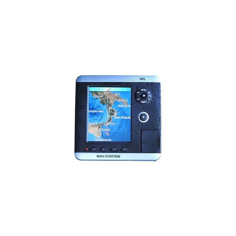
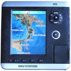
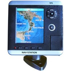
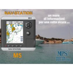
Cartographic plotter, interfaceable with black-box fishfinder, AIS, autopilot and other nautical instruments, Max cartography by C-Map by Jeppesen.
 ..E NON DIMENTICATE GLI OMAGGI!
 A partire da 100€ di acquisti sono compresi degli omaggi.
 Scoprili tutti nella categoria OMAGGI
SU UN ACQUISTO DI 100€ - 200€ - 300€ - 400€ - 500€ - 800€ - 1000€ - 1500€ GLI OMAGGI CHE PUOI SCEGLIERE
Scoprili qui >>
Schermo LCD 5" - Colore TFT 450Cd/mq Visibile Sotto la Luce del Sole
Definizione WVGA 320 x 240 pixel
Cartografia SD-Card Max - Background Mondiale con visualizzazione Satellitare fino a scale di 2 mn
Cartografia dettagliata C-Map SD card Max Wide (Mediterraneo)
Meteo C-Weather tramite PC-Planner o dispositivo GSM
Interfaccia tramite 3 Porte NMEA/FishFinder/Radar
Alimentazione 10 - 35 Vdc - 6 W
Dimensioni: 162h x 162 x 94 mm - Peso 580 gr
Caratteristiche salienti:
Piena modularità: fishfinder, AIS, C-Meteo, etc.
Cartografia Max di C-Map by Jeppesen
Display Samsung LTG500QV
Background Satellitare
Sistema di Sicurezza Check-Route
Sistema Anti-Collisione Guardian
Comandi Ergonomici All Around
Staffa a sgancio rapido Best Anti-Theft
Cartographic plotter, interfaceable with black-box fishfinder, AIS, autopilot and other nautical instruments, Max cartography by C-Map by Jeppesen.